Who we are
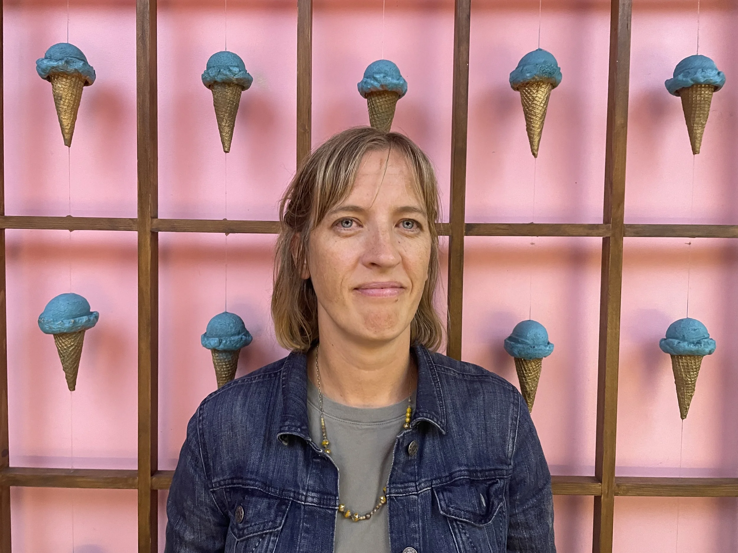
Elvira is a Geospatial Data Scientist and Cartographer with over a decade of experience delivering geospatial solutions that drive informed decisions. Elvira specializes in environmental and public health mapping, statistical data analysis, and data-driven visualization. Elvira has provided geospatial expertise to government agencies, nonprofits, and international public health organizations, including extensive work with the U.S. Centers for Disease Control and Prevention and their global health partners.
Her skills include advanced GIS analytics, spatial statistics, interactive mapping, and cartographic storytelling, complemented by proficiency in ArcGIS, QGIS, Open Source Mapping, Adobe Creative Suite, Python, SAS, and R. Elvira has extensive experience with the entire life-cycle of research projects, starting with project design, field data collection, data analysis, and project evaluation. She has experience performing analysis with diverse datasets and developing research plans for data-scarce regions.
Passionate about using GIS to support local communities, conservation, and sustainable growth, Elvira co-founded ARTGLOBE to help organizations across Western North Carolina use science and data to better inform state and regional decision-making.
Daniel is a Geospatial Analyst with experience in cartography, photogrammetry, remote sensing, and Lidar. He was born and raised in North Carolina, and lives in Brevard, NC. He holds a degree in Geography & GIS and is passionate about bringing the power of maps and GIS to local businesses and organizations.
Throughout his career Daniel has supported the United States Forest Service, emergency preparedness and response, power and utility companies, and local businesses throughout the Southeast. He is skilled in developing and streamlining data workflows, supporting engineering projects from initial project planning through analysis and product delivery, and geospatial project management. He has extensive experience with remote sensing data and is proficient in ArcGIS, QGIS, Global Mapper, AutoCad, Civil3D, Microstation, Terra Suite, MARS, PIX4D, Agisoft Metashape, Trimble Ortho Suite, and Adobe Creative Suite.
When he is not supporting ARTGLOBE projects, Daniel can be found hiking along the trails of Pisgah National Forest and dreaming up ways maps can help make our world better.
Contact us
Interested in working together? Fill out some info and we will be in touch shortly. We can’t wait to hear from you!


